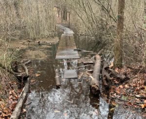
Hikers, please take notice that due to unprecedented rainfall (10 inches between March and April 2024), the beloved Skyline Trail at St. Moritz Ponds is currently underwater and impassable. We advise all hikers to not enter the trail system at this location until DCR and the Friends of the Blue Hills can work together to find a long-term solution to mitigate risk to this important trail and Blue Hills access point.
Although a few short-term solutions have been attempted by the Friends and DCR, it has become clear that this is a bigger project than we had hoped.
What can you do to help?
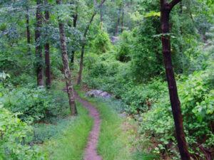
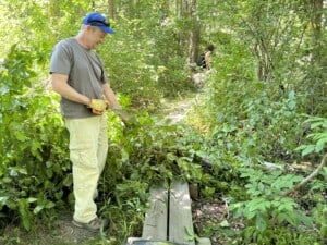
- Please do not attempt to access the Blue Hills Reservation at this site. Trying to cross floodwaters is unsafe. Attempting to go around the water creates braided trails and muddy ground cover, destroying precious plant life, which are nature’s way of mitigating flooding.
- Visit our Guide and Maps webpage to access a map that identifies alternative parking spots and access point to the SkyLine Trail and other parts of the park.
- Contact your local representative. The Friends and our local DCR partners have only so much power. Your collective voice can be instrumental in getting more state funding and resources to the Blue Hills so that we can build a boardwalk or similar structure that is more resilient to flooding.
- Learn! It is frustrating to see one of our favorite places covered in water and inaccessible. But it is also an opportunity for us all to learn about the impacts of a changing climate, increased precipitation, and how both are affecting our communities and places we love. Here are some resources you may find helpful:
- Donate to Friends of the Blue Hills. With additional financial and community support, Friends of the Blue Hills can act faster with our partners to address emergent trail issues. Together, we can come up with quicker solutions to ensure that trails are closed as little as possible so you can explore and enjoy them at your leisure.
Top photo: St. Moritz Pond Quack Quack by Kathy Thrun, Wollaston











To get around the pond please use Willard St heading towards the rotary, turn left onto Montillio St, turn right onto Adele St, turn left onto Bunker Hill Rd. At the end of Bunker Hill Rd, is the entrance to Wampatuck St. and you can safely walk along the sidewalk up the hill and continue on to Sawcut Notch or the Skyline Trail without further damaging the trails. I am working with DCR to get map at the trailhead showing this detour. Thank you kindly for using this detour instead of further destroying the trails.