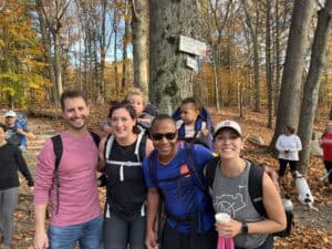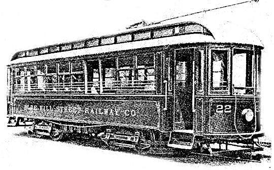
One hundred years ago the Blue Hills Reservation was created as a haven for city dwellers wanting to escape from the stress of urban life. At that time people could conveniently hop on trolleys that originated in Mattapan and other Boston neighborhoods to travel to “one of the greatest recreation grounds in the world, in scenery far superior to parks of Paris.” That was how the Blue Hills were described in a 1904 trolley brochure.
Today the Blue Hills is much harder to access for those without cars who live in city neighborhoods. Trolleys no longer operate and public transportation is limited. As a result, the park and its resources remain inaccessible for tens of thousands of families in Boston and surrounding communities because there is no MBTA service to the area.
Eager to improve access for people in nearby Boston, the Friends has been working in partnership with Urban Outdoors Association, Mattapan Food and Fitness, Brookwood Community Farm and the Mary May Binney Wakefield Arboretum. Together, this coalition has successfully petitioned the Boston Region Metropolitan Planning Organization (MPO) to conduct a study of public transportation options from the traditionally marginalized neighborhoods of Dorchester and Mattapan. As part of the study, the Friends will work with the MPO to engage these communities in developing options to improve transit service to, from, and within the Blue Hills.
Originally published by Robert H. Derrah, By Trolley through New Eastern New England. (Boston, Mass., 1904), “The Reservation Route”, pgs. 55-60.
Image shows the trolley route from Boston to Sharon and connecting points, past the state reservation and under the shadow of the Great Blue Hills.
Source for photo and trolley brochure: Stoughton Historical Society