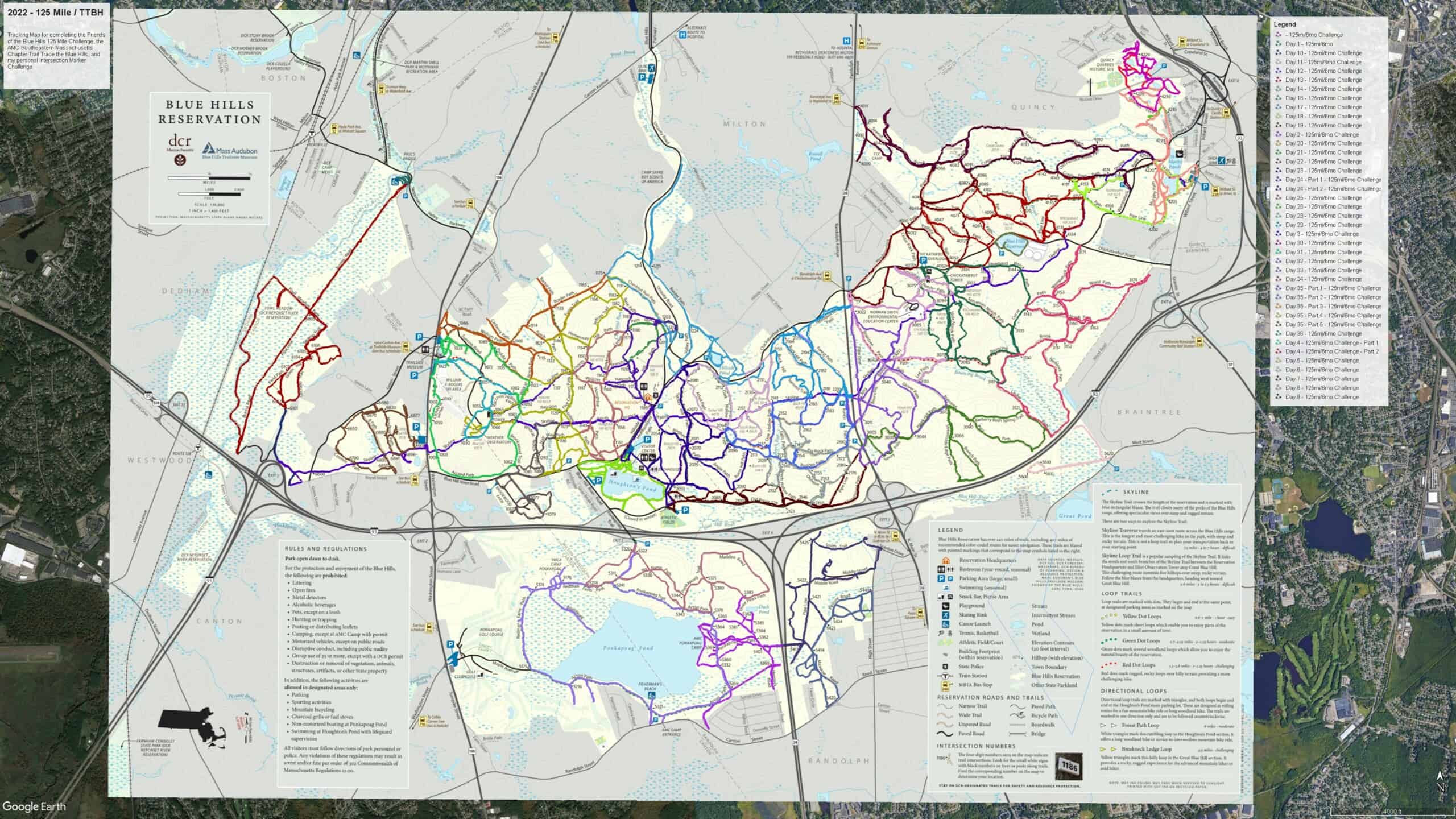
Suggested Trail Routes
Not sure how best to tackle all 125 miles? Friends of the Blue Hills’ members have you covered… See below for suggested routes and trails for each section. The routes may be too long or too short for you to enjoy in one trip, so feel free to modify the routes to suit yourself! For maps with numbers, you start your hike at ‘1’ and continue to follow the numbers for your route. (You’ll understand once you see one!)
And if you haven’t signed up for the 125-Mile Club Challenge, sign up today!

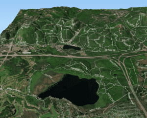
Blue Hills Sections
The Blue Hills can be divided into the following six sections, as indicated on the map to the left.
- Blue Hill
- Houghton’s Pond
- Chickatawbut
- Quincy Quarries
- Fowl Meadow
- Ponkapoag Pond
Suggested hikes and routes to help you take on the 125-Mile Club Challenge
We hope you find these suggested routes helpful. We’d love to see your route suggestions! Click here to share your favorite trail or 125-Mile Club route recommendation.
See below for routes by section.
Hikes you may enjoy:
Suggested routes for you to cover all the trails in the ‘1000s’ – Blue Hills section.
1000s-3 Houghton’s Pond to Great Blue
Suggested routes for you to cover all the trails in the ‘2000s’ – Houghton’s Pond Section.
2000s Blue Hills Four Maps core section
Hikes you may enjoy: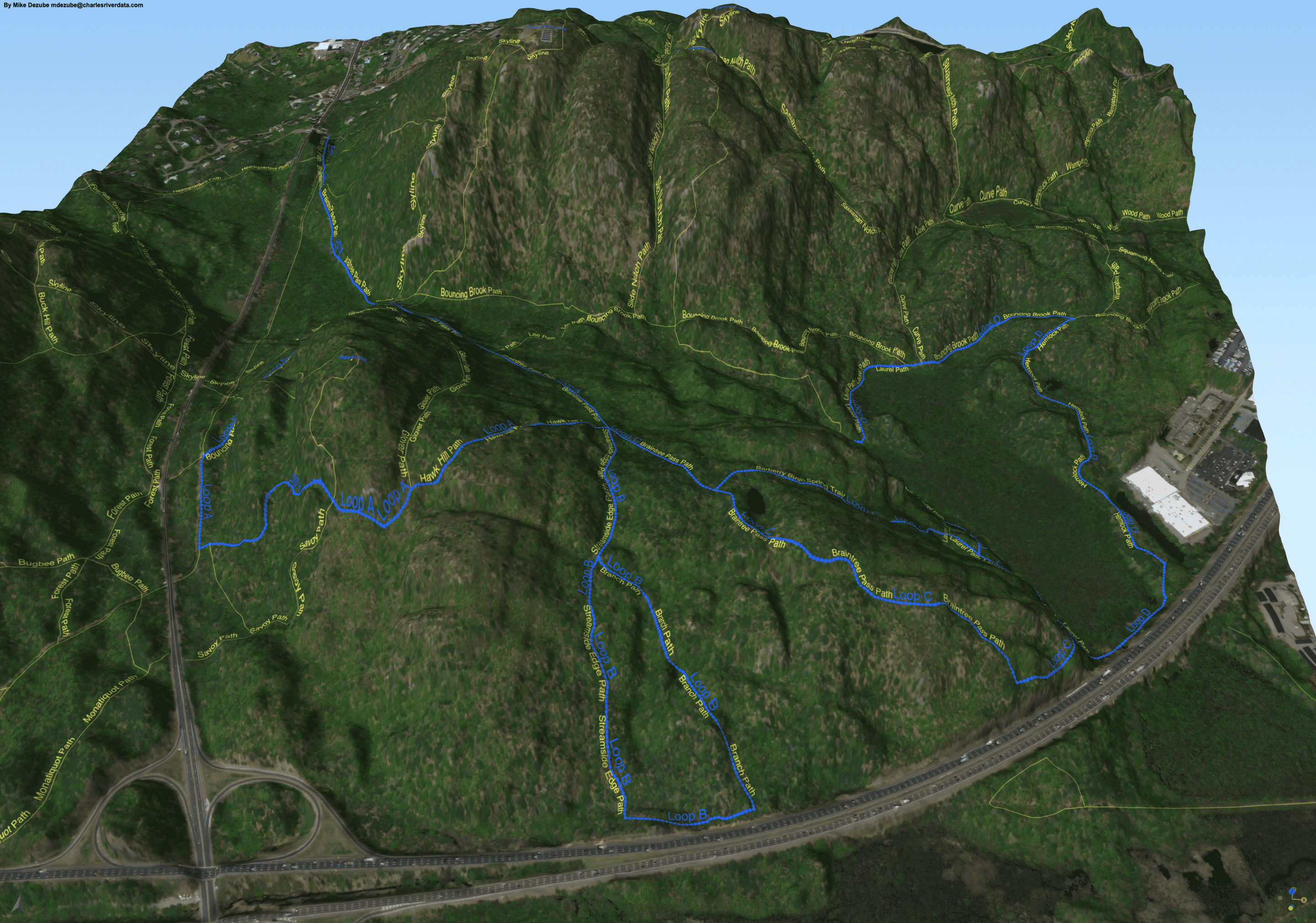
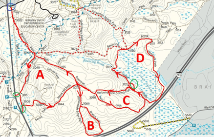
- Braintree Pass Path to south Chickatawbut trails
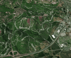
- Braintree Pass Loops Satellite View – By Mike Dezube at Charles River Data
- Randolph Ave (Rt. 28) Hemlock Bound Trail to Hemlock Bound
Suggested routes for you to cover all the trails in the ‘3000s’ – Chickatawbut section
 Hikes you may enjoy:
Suggested route for you to start to cover all the trails in the ‘5000s’ – Ponkapoag Pond section.
4000-1 Quarries – Sawcut Notch
 Suggested route for you to start to cover all the trails in the ‘6000s’ – Fowl Meadow section
Trail # 6000-1 – Little Blue section in Fowl Meadow
Suggested routes for you to cover all the trails in the ‘5000s’ – Ponkapoag section.
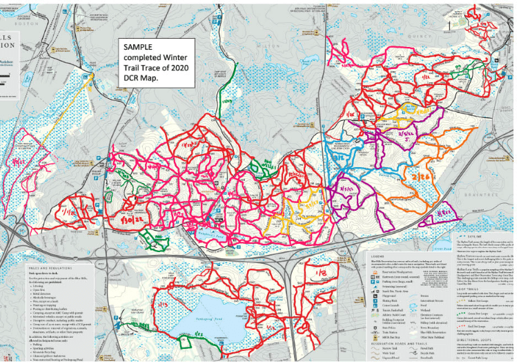
To give you a sense of how to plan your 125-Mile Challenge, click here for routes planned by Bob Vogel of AMC. You can also see below or click here for suggested trail routes for the entire park, courtesy of Barney Moisette.