Quarry Section 4000

Adams Path (FBH)

Crag Trail
Assessment (2016)
Adopted by New England Aquarium Volunteers

Fox Hill Path
Assessment (2016)
Adopted by Dave Humphreys

Great Dome Foot Path
Assessment (2016)
Adopted by Jason Greely

Minichiello Path (FBH)
Nike Ajax Path

Pasture Run

Quarries Foot Path

Sassaman Path

Short Path
Assessment (2016)
Adopted by New England Aquarium Volunteers

Water Pipe Line

CCC Trail
Assessment (2016)
Adopted by Tim Sidor

Crags Foot Path
Assessment (2016)
Adopted by Dave Humphreys

Furnace Brook Trail
Assessment (2016)
Adopted by Jason Greely

Headquarters Path

Minuteman Path (FBH)

Obbatinewat Path (FBH)

Pine Tree Brook Path
Assessment (2016)
Adopted by Shubha Chungi

Quarry Trail
Assessment (2016)
Adopted by Jason Greely

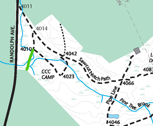
Sawcut Notch Path
Adopted by Tim Sidor
Assessment (2016)

Ski Jump Path (FBH)

White Tail Path (FBH)

Cedar Rock Path

Firepit Path

Gas Pipeline

Indian Camp Path
Assessment (2016)
Adopted by Dave Humphreys

Murphy Path

Old Furnace Brook Path
Assessment (2016)
Adopted by New England Aquarium Volunteers

Pleasant Trail

Ridge Path
Adopted by Joe Nelson
Assessment (2016)

Shawmut Path (FBH)

Skyline Trail
Assessment (2016)
Adopted by Jason Greely
